| Publikation | 17.04.19 |
|---|---|
| Letzte Änderung | 20.03.25 |
| SW Länge/Breite | NO Länge/Breite | |
|---|---|---|
| 3.275°/47.25° | 15.05°/56° |
| Identifikator | https://registry.gdi-de.org/id/de.bund.bgr.csw/b4f79136-2c81-b283-4ecd-9381d0cbe551 |
|---|---|
| Digitale Repräsentation | Vector |
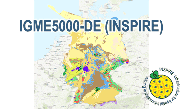
| Fachliche Grundlage | The IGME5000-DE (INSPIRE) GML files are based on the spatial dataset of The 1:5 Million International Geological Map of Europe and Adjacent Areas – German part (IGME5000-DE) transformed according to INSPIRE. |
| Sprache des Datensatzes | Englisch |
|---|
| Spezifikation der Konformität | Spezifikationsdatum | Grad der Konformität | Geprüft mit |
|---|---|---|---|
| INSPIRE Data Specification on Geology - Technical Guidelines | 10.12.13 | See the referenced specification | |
| VERORDNUNG (EG) Nr. 1089/2010 DER KOMMISSION vom 23. November 2010 zur Durchführung der Richtlinie 2007/2/EG des Europäischen Parlaments und des Rates hinsichtlich der Interoperabilität von Geodatensätzen und -diensten | 08.12.10 | See the referenced specification |
| Name | Version | Kompressionstechnik | Spezifikation |
|---|---|---|---|
| INSPIRE-GML | n/a |
| Objekt-ID | numis-metadaten-bcf79a39-0316-4908-9abc-0ad095c193dc |
|---|---|
| Aktualität der Metadaten | 20.03.25 |
| Sprache Metadatensatz | Englisch |
| XML Darstellung | Metadaten als XML herunterladen |
| Ansprechpartner (Metadatum) | geodatenmanagement@bgr.de |
