| Publikation | 19.10.23 |
|---|
| SW Länge/Breite | NO Länge/Breite | |
|---|---|---|
| 5.565°/49.25° | 15.572°/55.012° |
| Identifikator | https://registry.gdi-de.org/id/de.bund.bgr.csw/43614a02-2ee6-edc1-6980-1129f1b55f7b |
|---|---|
| Digitale Repräsentation | Vector |
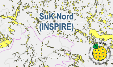
| Fachliche Grundlage | The SuK-Nord (INSPIRE GML files are based on the spatial dataset of the Map of the distribution of sand and gravel in the Northern German glacial area (SuK-Nord) transformed according to INSPIRE. |
| Sprache des Datensatzes | Englisch |
|---|
| Spezifikation der Konformität | Spezifikationsdatum | Grad der Konformität | Geprüft mit |
|---|---|---|---|
| INSPIRE Data Specification on Mineral Resources - Technical Guidelines | 10.12.13 | See the referenced specification | |
| VERORDNUNG (EG) Nr. 1089/2010 DER KOMMISSION vom 23. November 2010 zur Durchführung der Richtlinie 2007/2/EG des Europäischen Parlaments und des Rates hinsichtlich der Interoperabilität von Geodatensätzen und -diensten | 08.12.10 | See the referenced specification |
| Name | Version | Kompressionstechnik | Spezifikation |
|---|---|---|---|
| INSPIRE-GML | n/a |
| Objekt-ID | numis-metadaten-2ca5db23-8292-409f-bfc9-e753d113b588 |
|---|---|
| Aktualität der Metadaten | 23.04.25 |
| Sprache Metadatensatz | Englisch |
| XML Darstellung | Metadaten als XML herunterladen |
| Ansprechpartner (Metadatum) | geodatenmanagement@bgr.de |
