| Publikation | 17.04.19 |
|---|---|
| Letzte Änderung | 13.01.21 |
| SW Länge/Breite | NO Länge/Breite | |
|---|---|---|
| 3.3°/53.1° | 14.75°/56° |
| Identifikator | https://registry.gdi-de.org/id/de.bund.bgr.csw/251a4290-2ffb-2cdc-3076-144fc98f5a51 |
|---|---|
| Digitale Repräsentation | Vector |
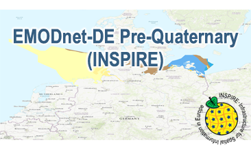
| Fachliche Grundlage | The EMODnet-DE Pre-Quaternary (INSPIRE) GML file based on the spatial dataset of BGR Emodnet 2 – Offshore Geology transformed according to INSPIRE. |
| Sprache des Datensatzes | Englisch |
|---|
| Spezifikation der Konformität | Spezifikationsdatum | Grad der Konformität | Geprüft mit |
|---|---|---|---|
| INSPIRE Data Specification on Geology - Technical Guidelines | 10.12.13 | See the referenced specification | |
| VERORDNUNG (EG) Nr. 1089/2010 DER KOMMISSION vom 23. November 2010 zur Durchführung der Richtlinie 2007/2/EG des Europäischen Parlaments und des Rates hinsichtlich der Interoperabilität von Geodatensätzen und -diensten | 08.12.10 | See the referenced specification |
| Name | Version | Kompressionstechnik | Spezifikation |
|---|---|---|---|
| INSPIRE-GML | n/a |
| Objekt-ID | numis-metadaten-030a8d04-94af-4ca5-b3db-2aac8c064d59 |
|---|---|
| Aktualität der Metadaten | 09.04.24 |
| Sprache Metadatensatz | Englisch |
| XML Darstellung | Metadaten als XML herunterladen |
| Ansprechpartner (Metadatum) | geodatenmanagement@bgr.de |
