| Publikation | 01.02.19 |
|---|
| SW Länge/Breite | NO Länge/Breite | |
|---|---|---|
| 6°/47° | 15°/55° |
| Lambert Conformal Conic Central 20°, Parallels 30°, 60° |
| Identifikator | 09ad6ede-3341-4b85-8f8d-da10f63e83bb |
|---|---|
| Digitale Repräsentation | Vector |
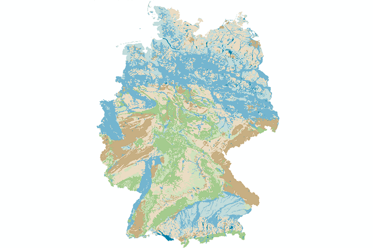
| Fachliche Grundlage | DE: Interpretation und Klassifikation der Einheiten der Geologischen Karte der Bundesrepublik Deutschland 1:1.000.000 (GK1000) nach hydrogeologischen Kriterien. EN: Interpretation and reclassification of the map units of the 1:1,000,000 Geological Map of Germany (GK1000) according to hydrogeological criteria. |
| Sprache des Datensatzes | Deutsch |
|---|
| Name | Version | Kompressionstechnik | Spezifikation |
|---|---|---|---|
| Shapefile | n/a |
| Objekt-ID | numis-metadaten-f0b8086e-9dc1-402c-9f38-15b9933b5b77 |
|---|---|
| Aktualität der Metadaten | 10.03.25 |
| Sprache Metadatensatz | Deutsch |
| XML Darstellung | Metadaten als XML herunterladen |
| Ansprechpartner (Metadatum) | geodatenmanagement@bgr.de |
