| Erstellung | 30.09.16 |
|---|
| SW Länge/Breite | NO Länge/Breite | |
|---|---|---|
| -180°/-90° | 180°/90° |
| Identifikator | 87ad426e-a4c4-4fac-b998-21d8c6b7a16c |
|---|---|
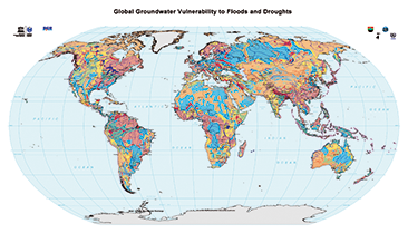
| Fachliche Grundlage | World-wide Hydrogeological Mapping and Assessment Programme (WHYMAP) |
| Art des Dienstes | view |
|---|---|
| Version | OGC:WMS 1.3.0 |
| Name der Operation | Beschreibung der Operation | Aufruf der Operation |
|---|---|---|
| GetCapabilities | https://services.bgr.de/wms/grundwasser/whymap_gwv/? | |
| GetMap | https://services.bgr.de/wms/grundwasser/whymap_gwv/? |
| Spezifikation der Konformität | Spezifikationsdatum | Grad der Konformität | Geprüft mit |
|---|---|---|---|
| VERORDNUNG (EG) Nr. 976/2009 DER KOMMISSION vom 19. Oktober 2009 zur Durchführung der Richtlinie 2007/2/EG des Europäischen Parlaments und des Rates hinsichtlich der Netzdienste | 20.10.09 | siehe dazu die angegebene Durchführungsbestimmung |
| Name | Version | Kompressionstechnik | Spezifikation |
|---|---|---|---|
| png | n/a | ||
| jpeg | n/a | ||
| gif | n/a |
| Objekt-ID | numis-metadaten-8cf1218f-1b97-4705-974e-5462dc11b16c |
|---|---|
| Aktualität der Metadaten | 07.04.25 |
| Sprache Metadatensatz | Englisch |
| XML Darstellung | Metadaten als XML herunterladen |
| Ansprechpartner (Metadatum) | geodatenmanagement@bgr.de |
