| Erstellung | 22.04.22 |
|---|---|
| Publikation | 12.07.22 |
| SW Länge/Breite | NO Länge/Breite | |
|---|---|---|
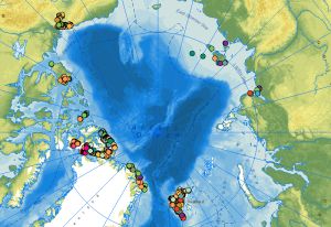
| -141°/67.18° | 157°/83.55° |
| Identifikator | f344472d-acce-553e-94a1-5b9090e9a1a9 |
|---|---|
| Fachliche Grundlage | Karsten Piepjohn (KP - BGR), Werner von Gosen (WvG - Uni Erlangen) and Andreas Läufer (AL - BGR) collected the tectonic measurements, outcrop photos and outcrops sketches in the circum-Arctic regions during the CASE expeditions. |
| Sprache des Datensatzes | Deutsch |
|---|
| Name | Version | Kompressionstechnik | Spezifikation |
|---|---|---|---|
| Shapefile | n/a |
| Objekt-ID | numis-metadaten-87136bc0-55ae-4d17-b1b0-67779c781403 |
|---|---|
| Aktualität der Metadaten | 16.10.25 |
| Sprache Metadatensatz | Englisch |
| XML Darstellung | Metadaten als XML herunterladen |
| Ansprechpartner (Metadatum) | geodatenmanagement@bgr.de |
