| Publikation | 09.08.05 |
|---|
| SW Länge/Breite | NO Länge/Breite | |
|---|---|---|
| -35.181°/31.886° | 67.021°/74.147° |
| Identifikator | 78F40629-3272-40F6-B0AA-C0A353F7A391 |
|---|---|
| Digitale Repräsentation | Vector |
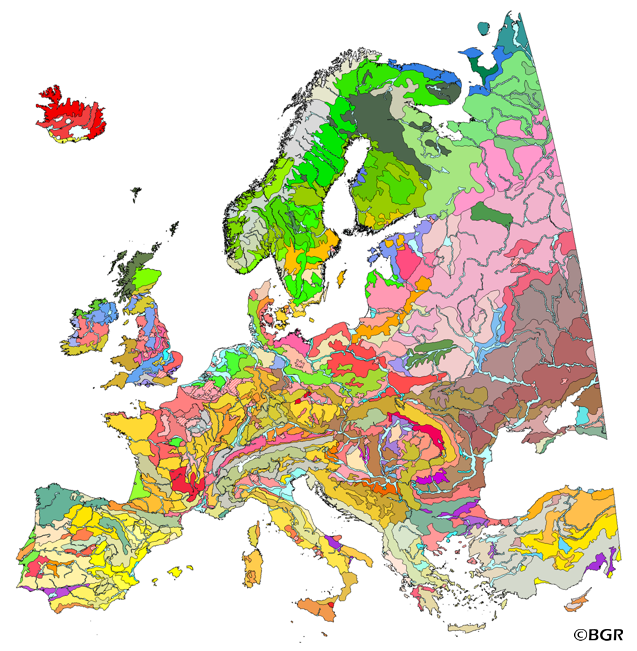
| Fachliche Grundlage | Die Datenquellen sind in Hartwich et al. (2005) gelistet und erläutert: - Europaweite thematische Karten und Datensätze - Nationale/regionale Bodenkarten und Expertenwissen von Mitgliedern des European Soil Bureau Network (ESBN) - The data sources are listed, explained and cited in Hartwich et al. (2005): - Europe-wide thematic maps and data sets - national/regional soil maps and expert knowledge from members of the European Soil Bureau Network (ESBN) |
| Sprache des Datensatzes | Englisch |
|---|
| Name | Version | Kompressionstechnik | Spezifikation |
|---|---|---|---|
| n/a | |||
| Shapefile | n/a | ||
| JPEG | n/a | ||
| MS Access | n/a | ||
| PNG | n/a | ||
| TIFF | n/a | ||
| GeoPackage | n/a | ||
| SQLite | n/a |
| Objekt-ID | numis-metadaten-ae71ffee-1ae9-4624-ae3f-f49513fe9dcb |
|---|---|
| Aktualität der Metadaten | 05.09.25 |
| Sprache Metadatensatz | Englisch |
| XML Darstellung | Metadaten als XML herunterladen |
| Ansprechpartner (Metadatum) | geodatenmanagement@bgr.de |
