| Publikation | 01.03.22 |
|---|
| SW Länge/Breite | NO Länge/Breite | |
|---|---|---|
| -25°/4° | 16°/25° |
| Identifikator | 21d99f16-3845-59df-2087-1f24fa5454e0 |
|---|---|
| Digitale Repräsentation | Vector |
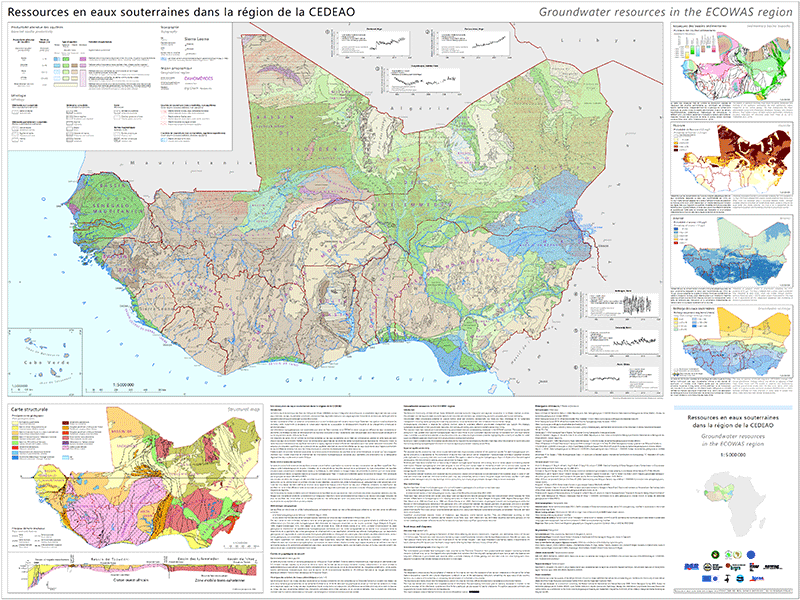
| Fachliche Grundlage | L'élaboration de la carte comprenait l'harmonisation des cartes géologiques continentales et régionales existantes et l'attribution des unités hydrogéologiques avec les données de rendement attendu compilées à partir d'une méta-enquête bibliographique. Map elaboration comprised the harmonisation of existing continental and regional geological maps and the attribution of hydrogeological units with expected yield data compiled from a literature meta-survey. |
| Sprache des Datensatzes | fra Englisch |
|---|
| Spezifikation der Konformität | Spezifikationsdatum | Grad der Konformität | Geprüft mit |
|---|---|---|---|
| VERORDNUNG (EG) Nr. 1089/2010 DER KOMMISSION vom 23. November 2010 zur Durchführung der Richtlinie 2007/2/EG des Europäischen Parlaments und des Rates hinsichtlich der Interoperabilität von Geodatensätzen und -diensten | 08.12.10 | siehe dazu die angegebene Durchführungsbestimmung |
| Name | Version | Kompressionstechnik | Spezifikation |
|---|---|---|---|
| n/a | |||
| Shapefile | n/a |
| Objekt-ID | numis-metadaten-794a6359-fd05-4851-8790-9281d1c7717b |
|---|---|
| Aktualität der Metadaten | 12.03.25 |
| Sprache Metadatensatz | fra |
| XML Darstellung | Metadaten als XML herunterladen |
| Ansprechpartner (Metadatum) | geodatenmanagement@bgr.de |
